Earth and Space Sciences Regents, June 2026, question 2
Tap an image to open it full size.
What the figure shows
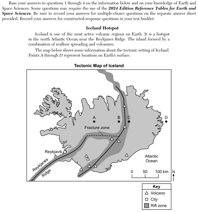
The passage says Iceland is a hotspot in the north Atlantic Ocean near the Reykjanes Ridge, and that the island formed by a combination of seafloor spreading and volcanism. The Tectonic Map of Iceland shows a shaded rift zone running from the Reykjanes Ridge in the southwest across the island to the north, with volcanoes, the city of Reykjavik, a fracture zone, points A to D and a scale of 0 to 100 kilometers (km). The map prints no spreading rates. The four choices compare Iceland's spreading rate with the Southeast Indian Ocean Ridge, the East Pacific Rise, the boundary between the Cocos Plate and the Nazca Plate, and the Southwest Indian Ocean Ridge.
How to think about it
The Iceland map does not give spreading rates, so open the Global Tectonic Activity of the Last One Million Years map. The small numbers beside divergent boundaries are total spreading rates in centimeters per year (cm/year). Find the number printed next to Iceland first, then find the number at each boundary named in the choices, and test each statement's "faster" or "slower" against the two numbers.
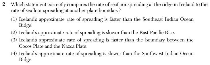
Which statement correctly compares the rate of seafloor spreading at the ridge in Iceland to the rate of seafloor spreading at another plate boundary?
Reference table: Global Tectonic Activity of the Last One Million Years (2024 edition, page 12)